
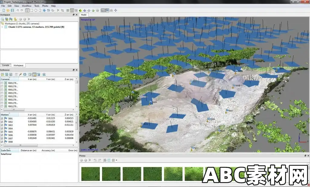
Agisoft Metashape(前身为 PhotoScan)是一款独立的软件产品,可对数字图像进行摄影测量处理,并生成三维空间数据,用于地理信息系统应用、文化遗产记录、视觉效果制作以及各种比例物体的间接测量。
将数字摄影测量技术与计算机视觉方法巧妙地结合在一起,可以形成智能的自动处理系统,一方面,摄影测量领域的新手可以轻松驾驭,另一方面,专家也可以根据众多具体任务和不同类型的数据调整工作流程。通过各种案例研究,Metashape 证明了其高质量、高精度的成果。
功能特点
摄影测量三角测量
处理各种类型的图像:航空图像(天顶、斜射)和近距离图像。
自动校准:框架(包括鱼眼)、球形和圆柱形相机。
支持多相机项目。
密集点云:编辑和分类
精心编辑模型以获得精确结果。
点分类,自定义几何重建。
.LAS导出,受益于经典的点数据处理工作流程。
数字高程模型 导出 DSM/DTM
数字地表和/或数字地形模型--视项目而定。
基于 EXIF 元数据/飞行日志的地理参照: GPS/GCP 数据。
支持 EPSG 注册坐标系: WGS84、UTM 等
地理参照正射影像图导出
地理参照正射影像图:最兼容地理信息系统的 GeoTIFF 格式;.KML 文件,可在谷歌地球上定位。
以块为单位导出,适用于大型项目。
同质纹理色彩校正
测量:距离、面积、体积
测量距离、面积和体积的内置工具。
为进行更复杂的度量分析,Metashape 产品可通过多种导出格式顺利导入外部工具。
Agisoft Metashape (formerly PhotoScan) is a stand-alone software product that performs photogrammetric processing of digital images and generates 3D spatial data to be used in GIS applications, cultural heritage documentation, and visual effects production as well as for indirect measurements of objects of various scales.
Wisely implemented digital photogrammetry technique enforced with computer vision methods results in smart automated processing system that, on the one hand, can be managed by a new-comer in the field of photogrammetry, yet, on the other hand, has a lot to offer to a specialist who can adjust the workflow to numerous specific tasks and different types of data. Throughout various case studies Metashape proves to produce quality and accurate results.
Features
Photogrammetric triangulation
Processing of various types of imagery: aerial (nadir, oblique) & close-range.
Auto calibration: frame (incl. fisheye), spherical & cylindrical cameras.
Multi camera projects support.
Dense point cloud: editing and classification
Elaborate model editing for accurate results.
Points classification to customize geometry reconstruction.
.LAS export to benefit from classical point data processing workflow.
Digital elevation model: DSM/DTM export
Digital Surface and/or Digital Terrain Model - depending on the project.
Georeferncing based on EXIF meta data/flight log: GPS/GCPs data.
EPSG registry coordinate systems support: WGS84, UTM, etc.
Georeferenced orthomosaic export
Georeferenced orthomosaic: most-GIS-compatible GeoTIFF format; .KML file to be located on Google Earth.
Export in blocks for huge projects.
Color correction for homogeneous texture.
Measurements: distances, areas, volumes
Inbuilt tools to measure distances, areas and volumes.
To perform more sophisticated metric analysis Metashape products can be smoothly transferred to external tools thanks to a variety of export formats.
